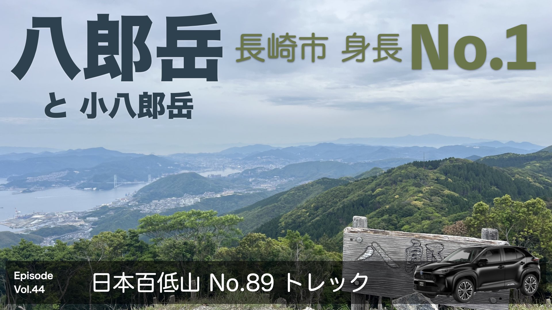
日本百低山No.89
目次(押すとジャンプするよ)
「八郎岳」はどんな山?
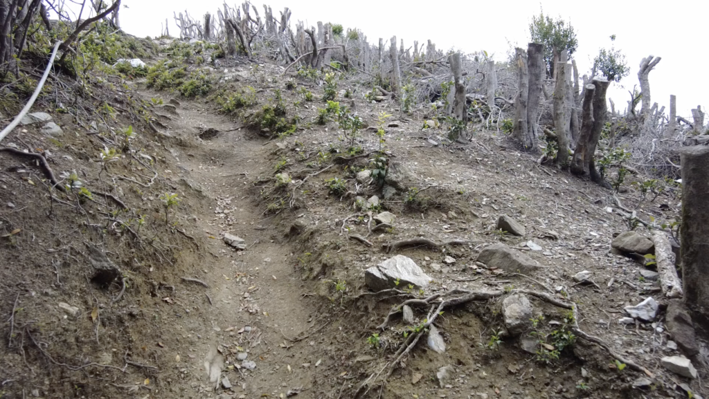
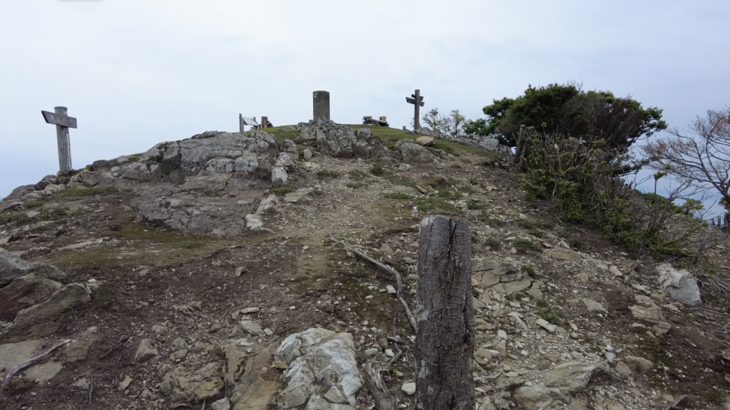
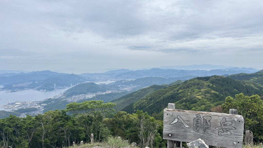
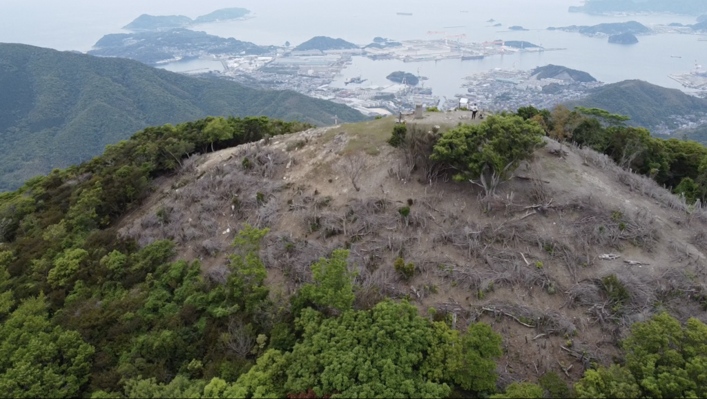
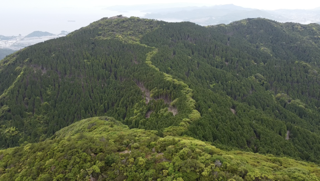
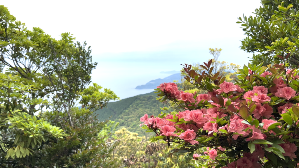
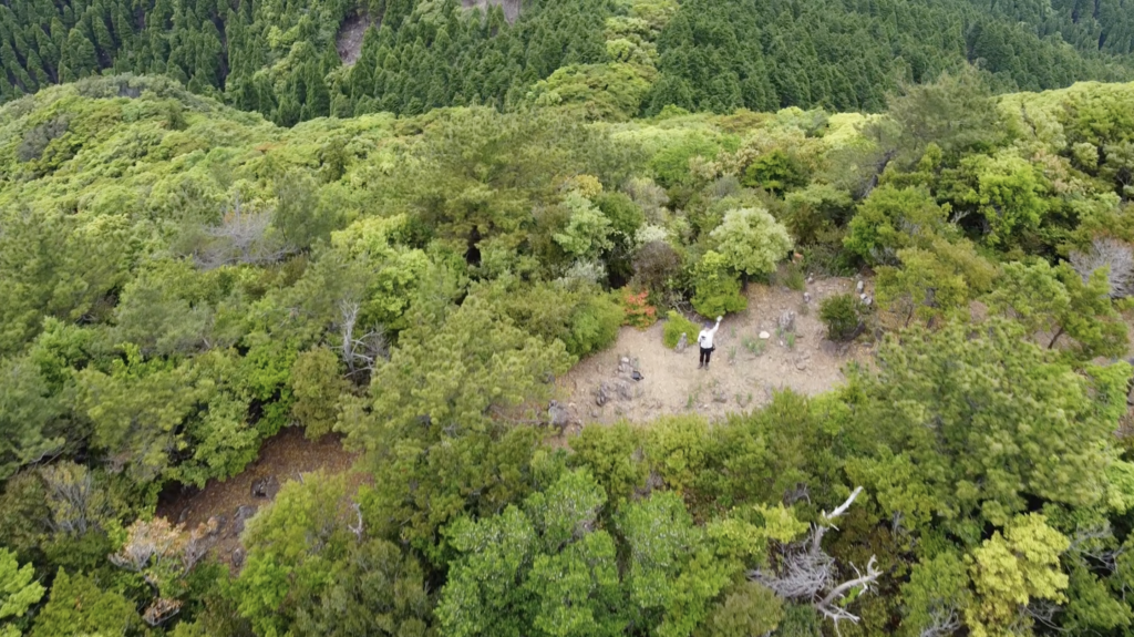
長崎市最高峰590mの山。長崎半島の中央に鎮座。山頂付近を刈り込んであるので、360度の眺望が準備されている。眼下には長崎市はもちろん、端島(軍艦島)、長崎港のドック群、天草諸島、阿蘇山郡、などまで見渡せる。山腹にはニホンジカが生息しているそうだが、今回は留守だった。マイカーによるアクセスは登山口から2キロほどの「えがわ運動公園」の無料駐車場を使わせて頂くのが良さそう。
↓登山の様子は動画でも紹介させて頂いてます。
今回の行程
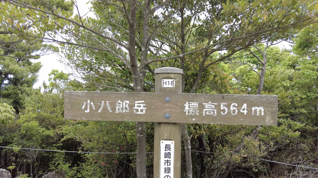
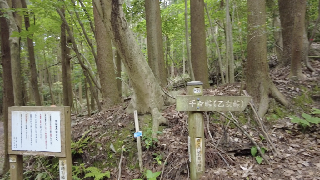
2022年5月20日 07:30スタート、八郎岳、小八郎岳、千々峠登山口に10:30 着
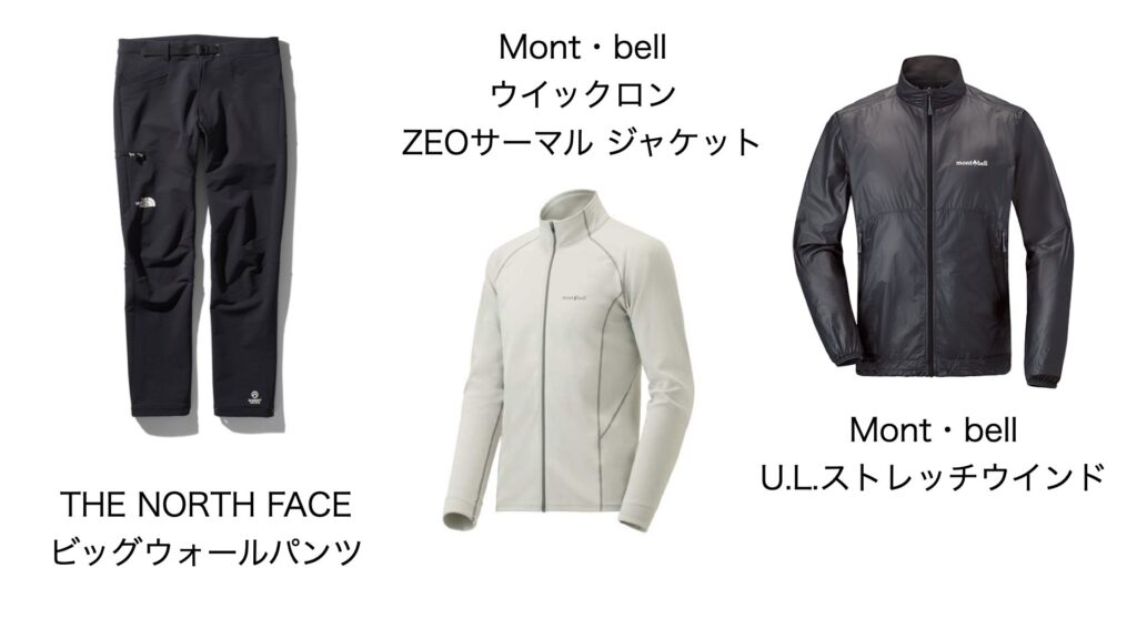
服装
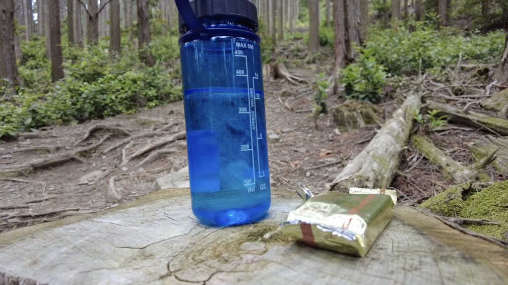
現地では小雨ありの天気だった、天気予報は晴れだったのでうっかり雨具を忘れてしまった。次回からは天気予報内容に関わらず雨具を忘れない様にする。
![](https://xshinx.com/wp-content/uploads/2022/06/衣類名称画像.001-2-1024x576.jpeg)
登山の記録
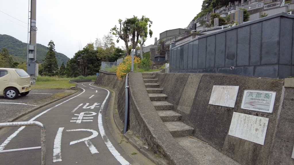
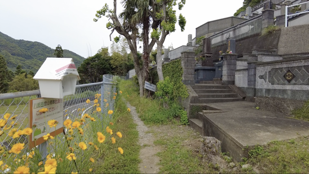
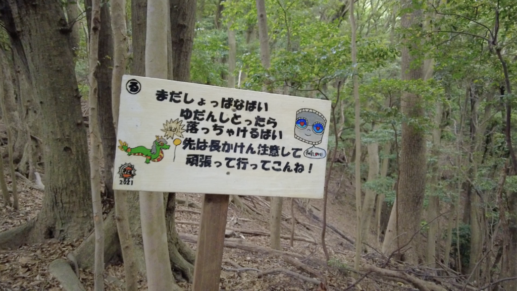
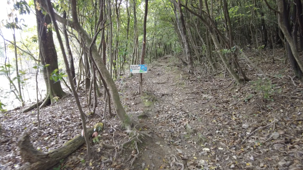
07:33 AM 登山口出発 間違って左の道を進んでしまった。右の階段を進む。
![](https://xshinx.com/wp-content/uploads/2022/06/スクリーンショット-2022-06-07-7.52.58-1024x576.png)
![](https://xshinx.com/wp-content/uploads/2022/06/スクリーンショット-2022-06-07-7.55.14-1024x575.png)
![](https://xshinx.com/wp-content/uploads/2022/06/スクリーンショット-2022-06-07-7.57.10-1024x578.png)
![](https://xshinx.com/wp-content/uploads/2022/06/スクリーンショット-2022-06-07-7.58.40-1024x577.png)
![](https://xshinx.com/wp-content/uploads/2022/06/スクリーンショット-2022-06-07-8.00.04-1024x575.png)
![](https://xshinx.com/wp-content/uploads/2022/06/スクリーンショット-2022-06-07-8.01.25-1024x565.png)
![](https://xshinx.com/wp-content/uploads/2022/06/スクリーンショット-2022-06-07-8.02.34-1024x576.png)
![](https://xshinx.com/wp-content/uploads/2022/06/スクリーンショット-2022-06-07-8.03.56-1024x577.png)
![](https://xshinx.com/wp-content/uploads/2022/06/スクリーンショット-2022-06-07-8.05.12-1024x576.png)
![](https://xshinx.com/wp-content/uploads/2022/06/スクリーンショット-2022-06-07-8.06.39-1024x575.png)
![](https://xshinx.com/wp-content/uploads/2022/06/スクリーンショット-2022-06-07-8.08.29-1024x566.png)
![](https://xshinx.com/wp-content/uploads/2022/06/スクリーンショット-2022-06-07-8.09.42-1024x576.png)
![](https://xshinx.com/wp-content/uploads/2022/06/スクリーンショット-2022-06-07-8.14.25-1024x573.png)
![](https://xshinx.com/wp-content/uploads/2022/06/スクリーンショット-2022-06-07-8.15.43-1024x577.png)
![](https://xshinx.com/wp-content/uploads/2022/06/スクリーンショット-2022-06-07-8.17.07-1024x574.png)
![](https://xshinx.com/wp-content/uploads/2022/06/スクリーンショット-2022-06-07-8.18.51-1024x575.png)
![](https://xshinx.com/wp-content/uploads/2022/06/スクリーンショット-2022-06-07-8.19.55-1024x578.png)
![](https://xshinx.com/wp-content/uploads/2022/06/スクリーンショット-2022-06-07-8.21.16-1024x574.png)
![](https://xshinx.com/wp-content/uploads/2022/06/スクリーンショット-2022-06-07-8.45.07-1024x579.png)
![](https://xshinx.com/wp-content/uploads/2022/06/スクリーンショット-2022-06-07-8.22.21-1024x578.png)
![](https://xshinx.com/wp-content/uploads/2022/06/スクリーンショット-2022-06-07-8.25.48-1024x574.png)
![](https://xshinx.com/wp-content/uploads/2022/06/スクリーンショット-2022-06-07-8.27.46-1024x576.png)
![](https://xshinx.com/wp-content/uploads/2022/06/スクリーンショット-2022-06-07-8.59.47-1024x578.png)
![](https://xshinx.com/wp-content/uploads/2022/06/スクリーンショット-2022-06-07-8.29.35-1024x577.png)
![](https://xshinx.com/wp-content/uploads/2022/06/スクリーンショット-2022-06-07-8.30.41-1024x577.png)
![](https://xshinx.com/wp-content/uploads/2022/06/スクリーンショット-2022-06-07-8.31.38-1024x575.png)
![](https://xshinx.com/wp-content/uploads/2022/06/IMG_4863-1024x576.jpeg)
![](https://xshinx.com/wp-content/uploads/2022/06/スクリーンショット-2022-06-07-8.46.46-1024x578.png)
![](https://xshinx.com/wp-content/uploads/2022/06/スクリーンショット-2022-06-07-8.52.21-1024x579.png)
![](https://xshinx.com/wp-content/uploads/2022/06/スクリーンショット-2022-06-07-8.59.24-1024x577.png)
![](https://xshinx.com/wp-content/uploads/2022/06/スクリーンショット-2022-06-07-8.36.19-1024x575.png)
![](https://xshinx.com/wp-content/uploads/2022/06/スクリーンショット-2022-06-07-8.36.55-1024x575.png)
![](https://xshinx.com/wp-content/uploads/2022/06/スクリーンショット-2022-06-07-8.37.41-1024x578.png)
![](https://xshinx.com/wp-content/uploads/2022/06/スクリーンショット-2022-06-07-8.53.58-1024x575.png)
![](https://xshinx.com/wp-content/uploads/2022/06/スクリーンショット-2022-06-07-8.39.58-1024x577.png)
![](https://xshinx.com/wp-content/uploads/2022/06/スクリーンショット-2022-06-07-8.41.39-1024x577.png)
![](https://xshinx.com/wp-content/uploads/2022/06/スクリーンショット-2022-06-07-8.43.29-1024x576.png)
振り返り
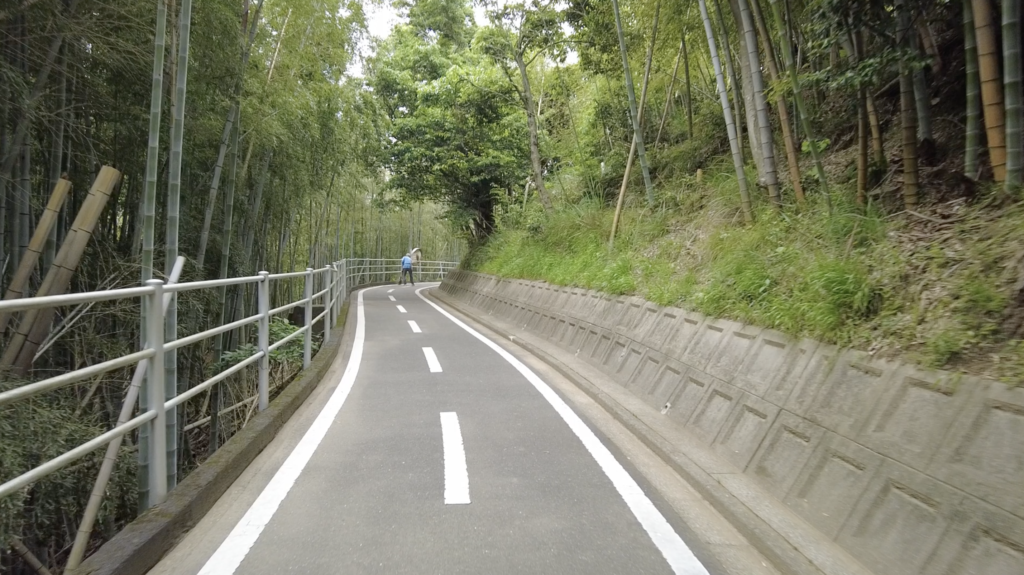
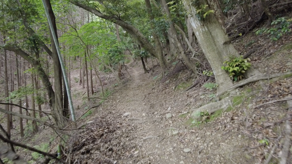
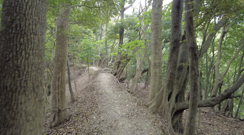
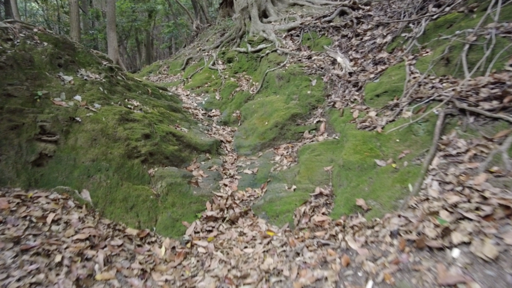
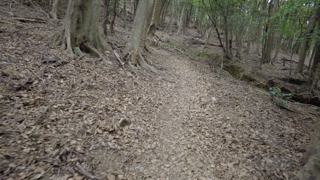
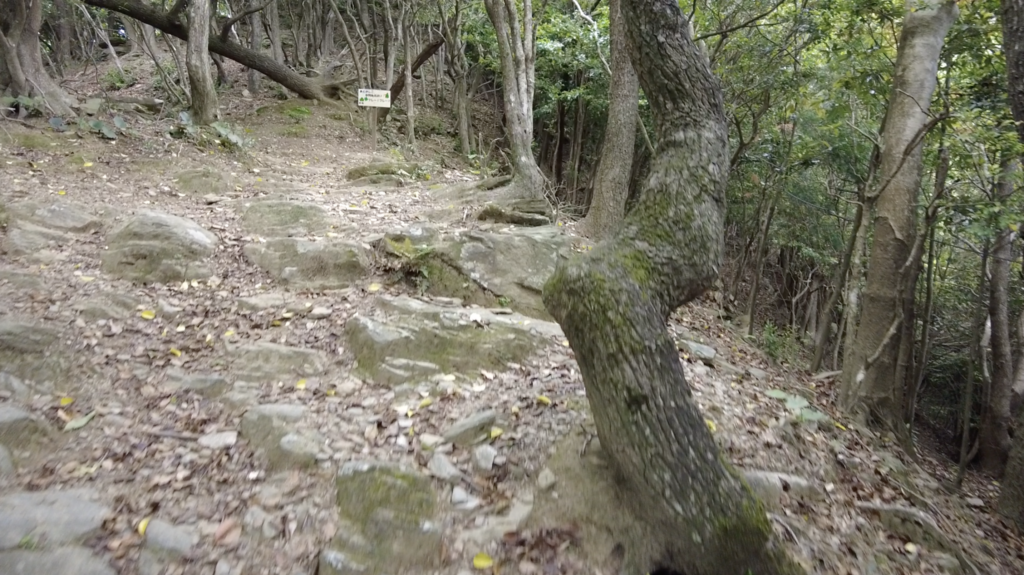
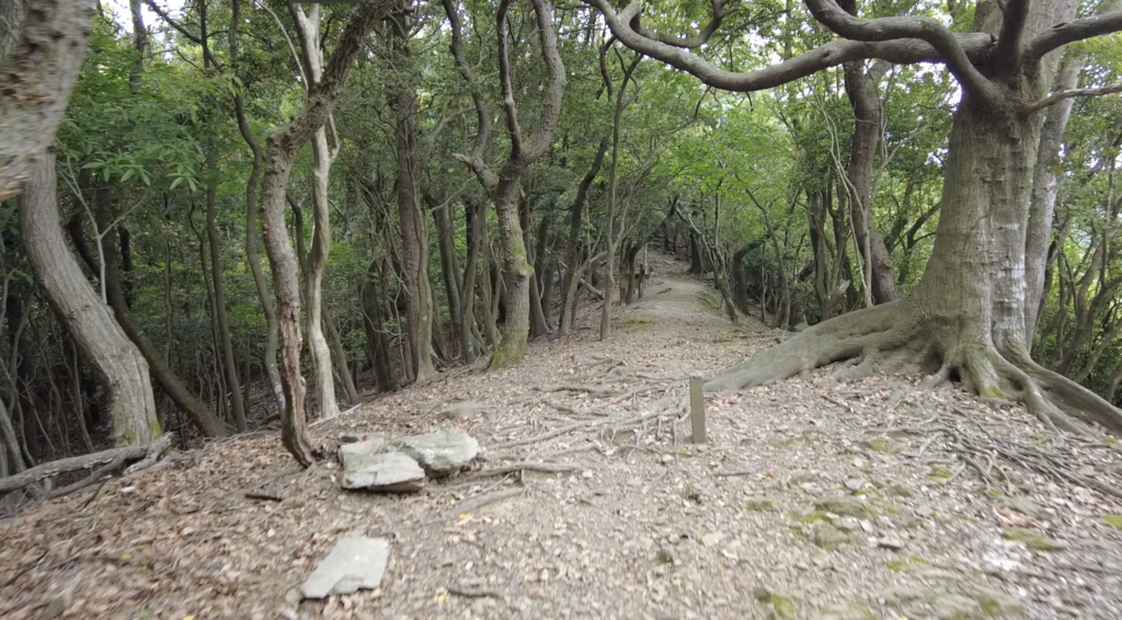
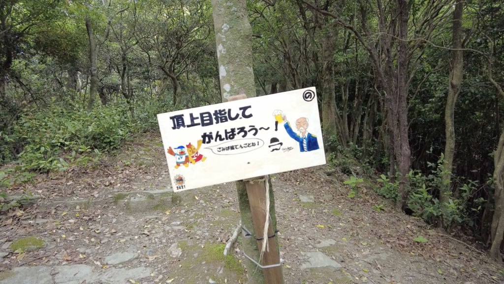
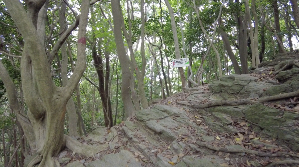
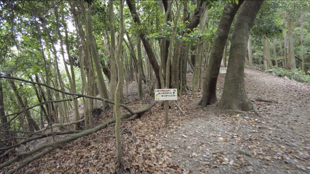
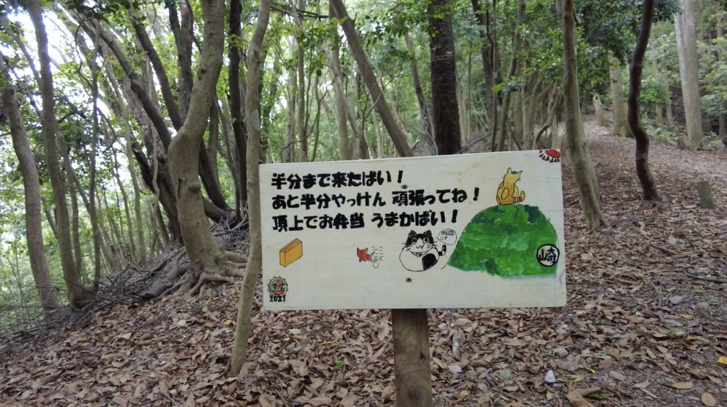
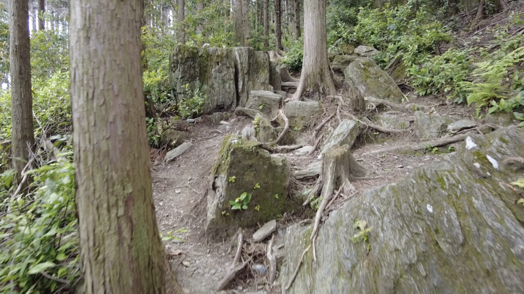
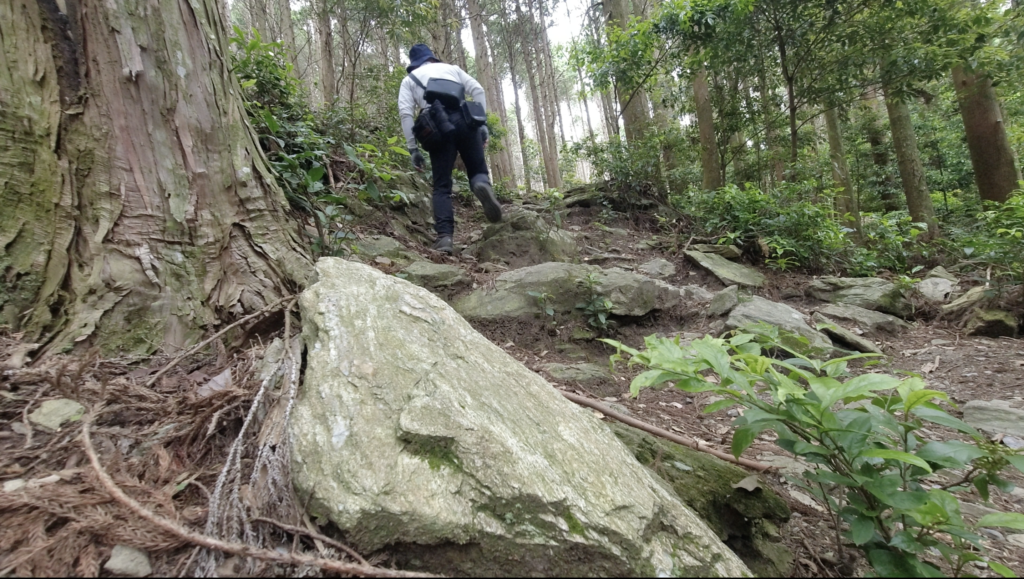
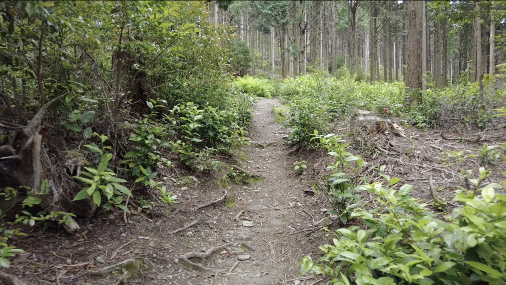
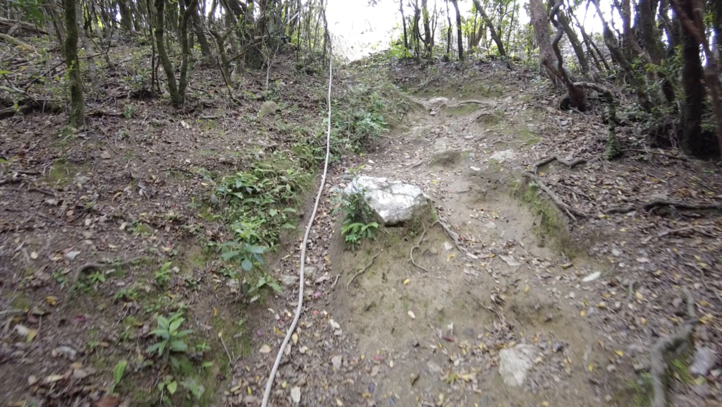
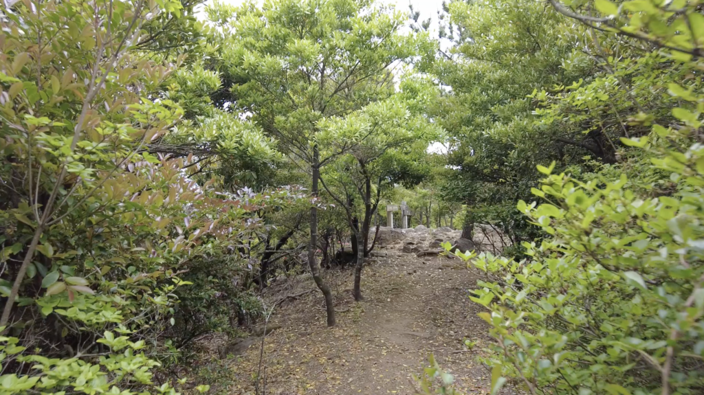
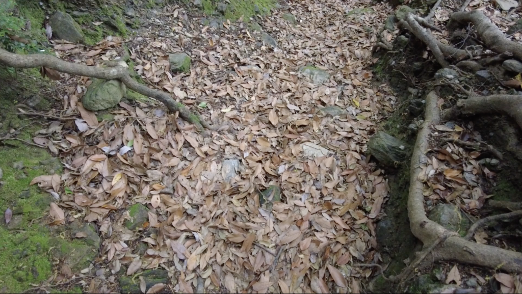
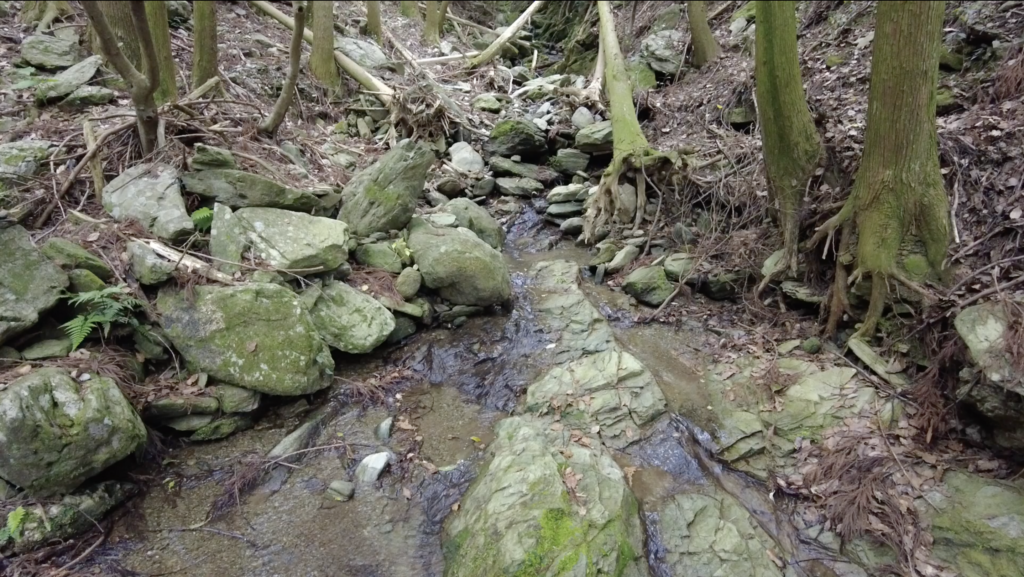
登山道はとても良く整備されており、感謝極まりない。数カ所分かりにくい箇所があったが、慎重に判断して進めば問題ない。足元は枯葉で滑りやすいので、歩幅小さめに歩いた。見通しが良い道だったので、安心感のある行程だった。天気がよければ山頂からの景色は格別だと想像できる。
コメントを残す